About a month or so ago my wife and I went on a camping trip with some friends in Yosemite National Park. It was much warmer than we thought it would be, and there were even a few mild rain showers, but overall it was a wonderful trip. This wasn't my first time camping, but it was my first trip to Yosemite and the valley was just beautiful. We didn't branch out into the wilderness too much, as we were just there for a couple of days. After a long day of travel on foot, the pizza and beer at the Curry Village Pizza Deck (Wayback Machine link) was a lifesaver... more than once!
Sadly, it's come to light that several people who stayed in Curry Village's "signature tent cabins" were infected with hantavirus (Wayback Machine link) during the same time we were in Yosemite, and a few people have died. The cabins in question were poorly designed; they were built in 2009 after a rockfall from Glacier Point destroyed buildings and caused minor injuries (Wayback Machine link). The continued high risk of rockfalls (Wayback Machine link) has prompted the closure of other areas of the park as well. We camped in our own tent and never saw any mice, but we did hear a colossal boom and cracking sound in the late afternoon that we could only assume to be a rockfall somewhere in the valley.
Now on to the photos – I'm going to save all the silly, sweaty, hiking photographs for my personal file and just stick to some nice landscape shots.
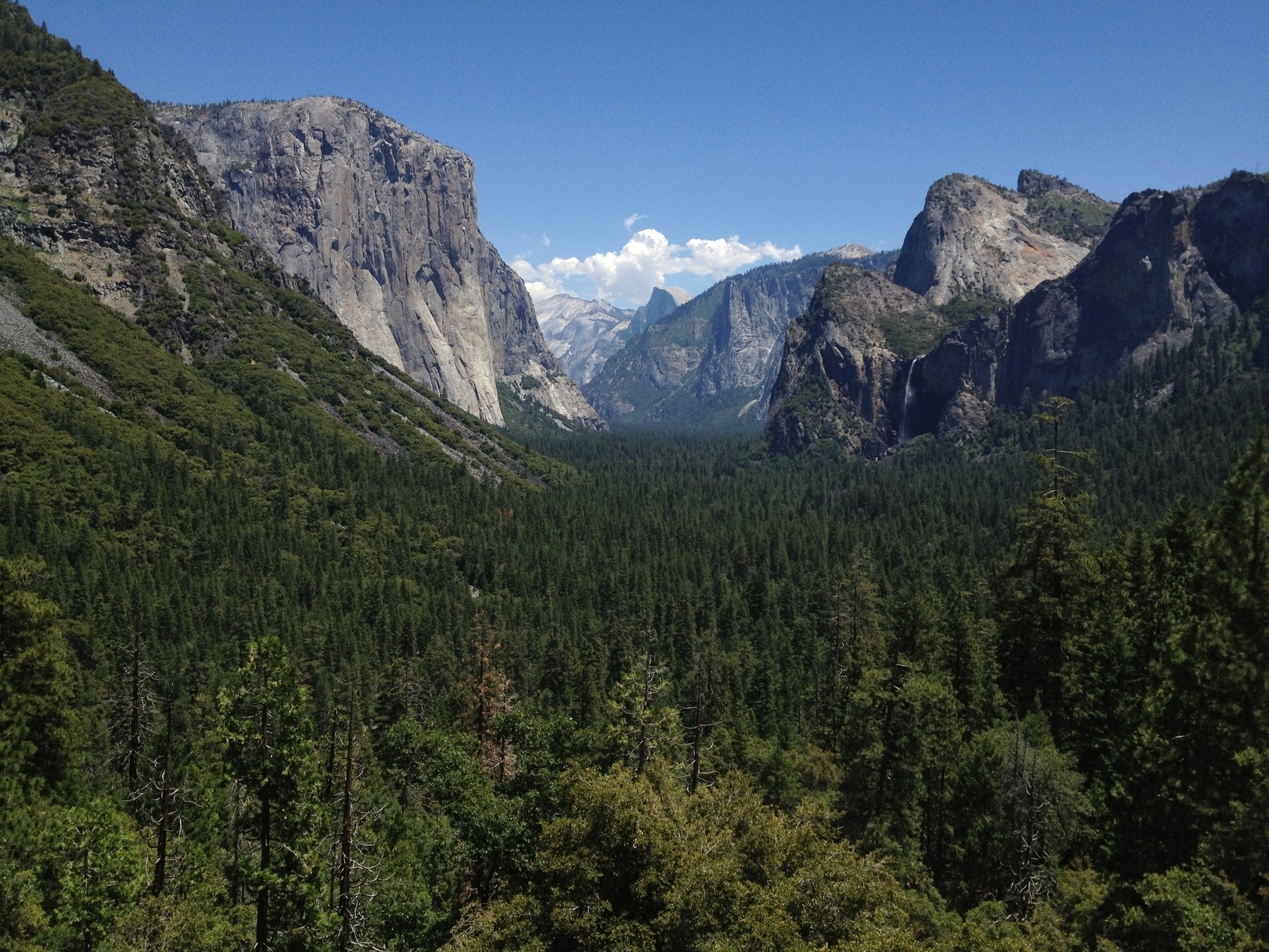
The first picture is of the Wawona Tunnel View, this is the classic Yosemite picture that all first-timers just have to take. On the left side of this photo is El Capitan, in the center is Half Dome, and on the right side is Bridalveil Fall. There are many other rock formations in the largely granite, glacier-carved valley, but El Capitan and Half Dome are perhaps the most famous.
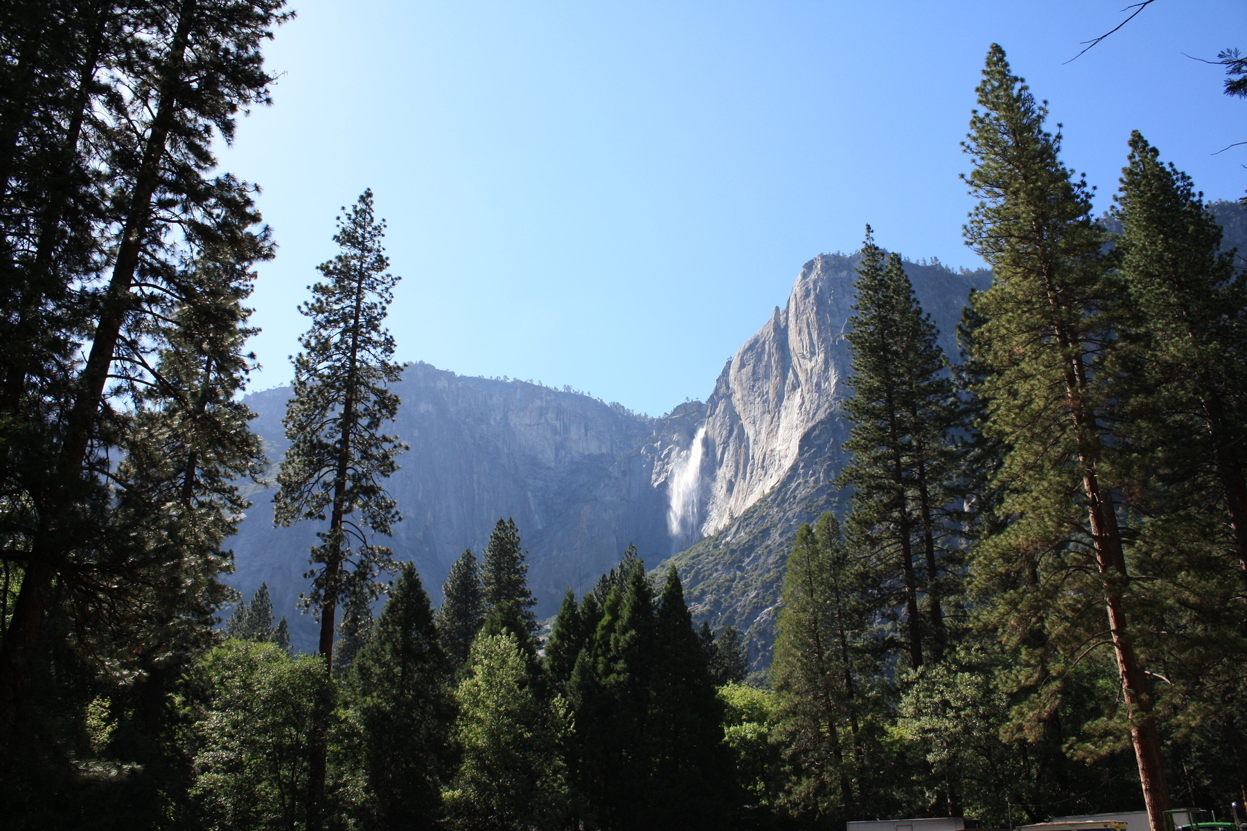
The second photograph is of Yosemite Falls, one of the many waterfalls in the valley. I thought Yosemite Falls was sometimes called the “Yosemite Firefall,” because it appeared bright orange in the sunset at certain times of year – I was wrong on both counts. I later discovered that the “Yosemite Firefall” was a spectacle created for tourists by the defunct Glacier Point Hotel on the other side of the valley, which poured burning embers over the edge of the cliff in a steady stream (this seems like a really bad idea, by the way). And the actual waterfall that appears to be on “fire” because of the sunset is the nearby Horestail Fall, which glows orange for a brief period in February.
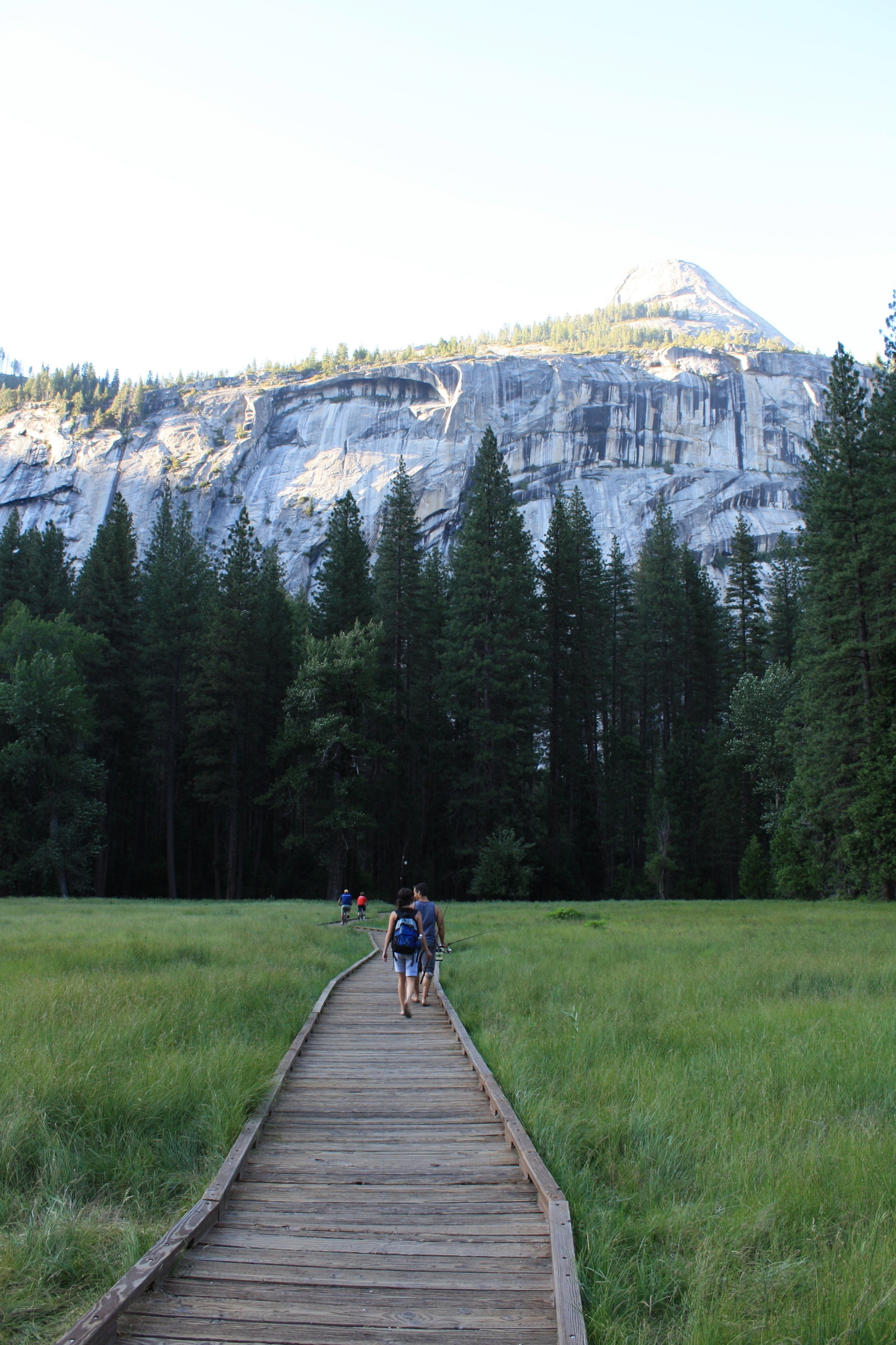
The next picture shows us crossing Stoneman Meadow, we’re heading north and away from Curry Village which is near the bridge entrance. On the right side of this photo the trees are partially obscuring the Royal Arches, a granite cliff face that has exfoliated in a concentric pattern.
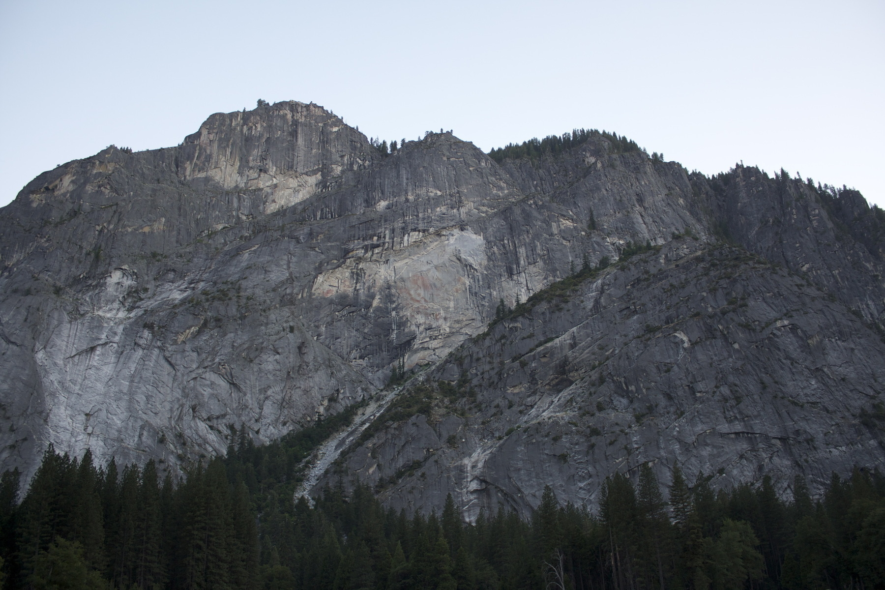
The fourth photo was also taken from Stoneman Meadow, but it’s facing south toward Curry Village. In the lower right of this picture is Staircase Falls which were dry during our visit; they’re only active right after a good amount of rain. In the upper left of this photo is Glacier Point, I believe – it looks like the correct location on the map, but it’s difficult to find a photo of Glacier Point from the valley floor for verification.
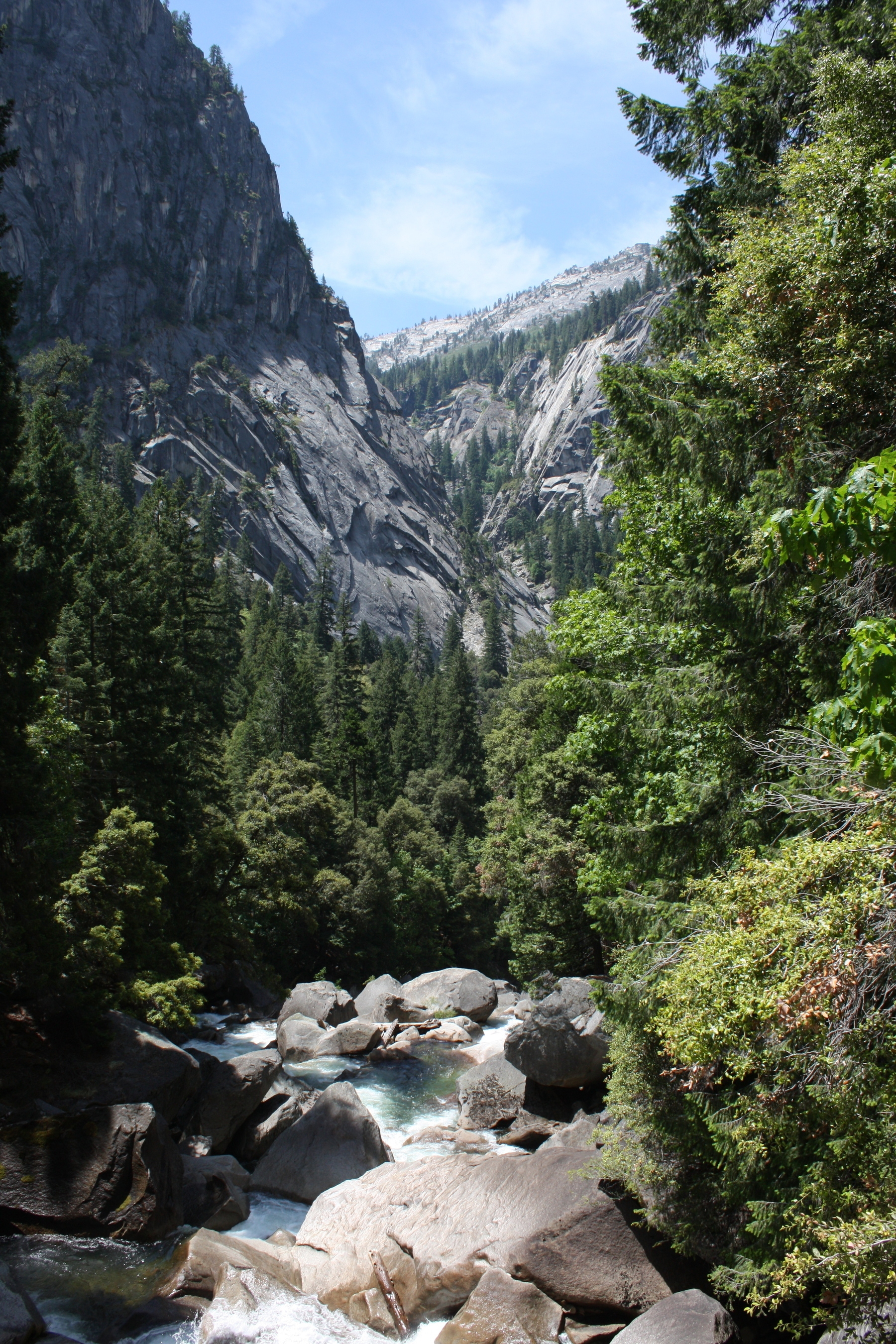
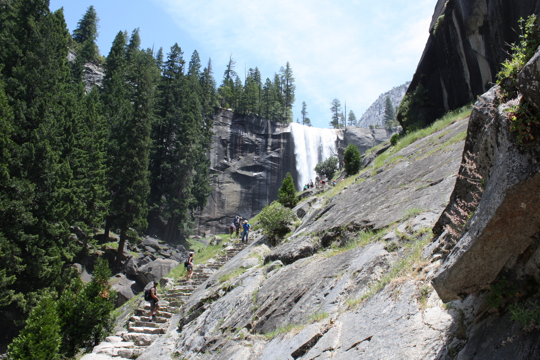
Photos 5 and 6 are from our hike to Vernal Fall. The hike begins in Happy Isles, the northern trailhead of the John Muir Trail along the Merced River, and it links to the Mist Trail which runs up to Vernal Fall. The portion of the John Muir Trail is relatively easy, it’s a bit uphill of course, but it’s paved because of the heavy amount of foot traffic. The Mist Trail, however, is made of rock-carved steps that are pretty steep and winding, leading up in front of the waterfall. I hear there’s good fishing up above Vernal Fall, but that’s another story.
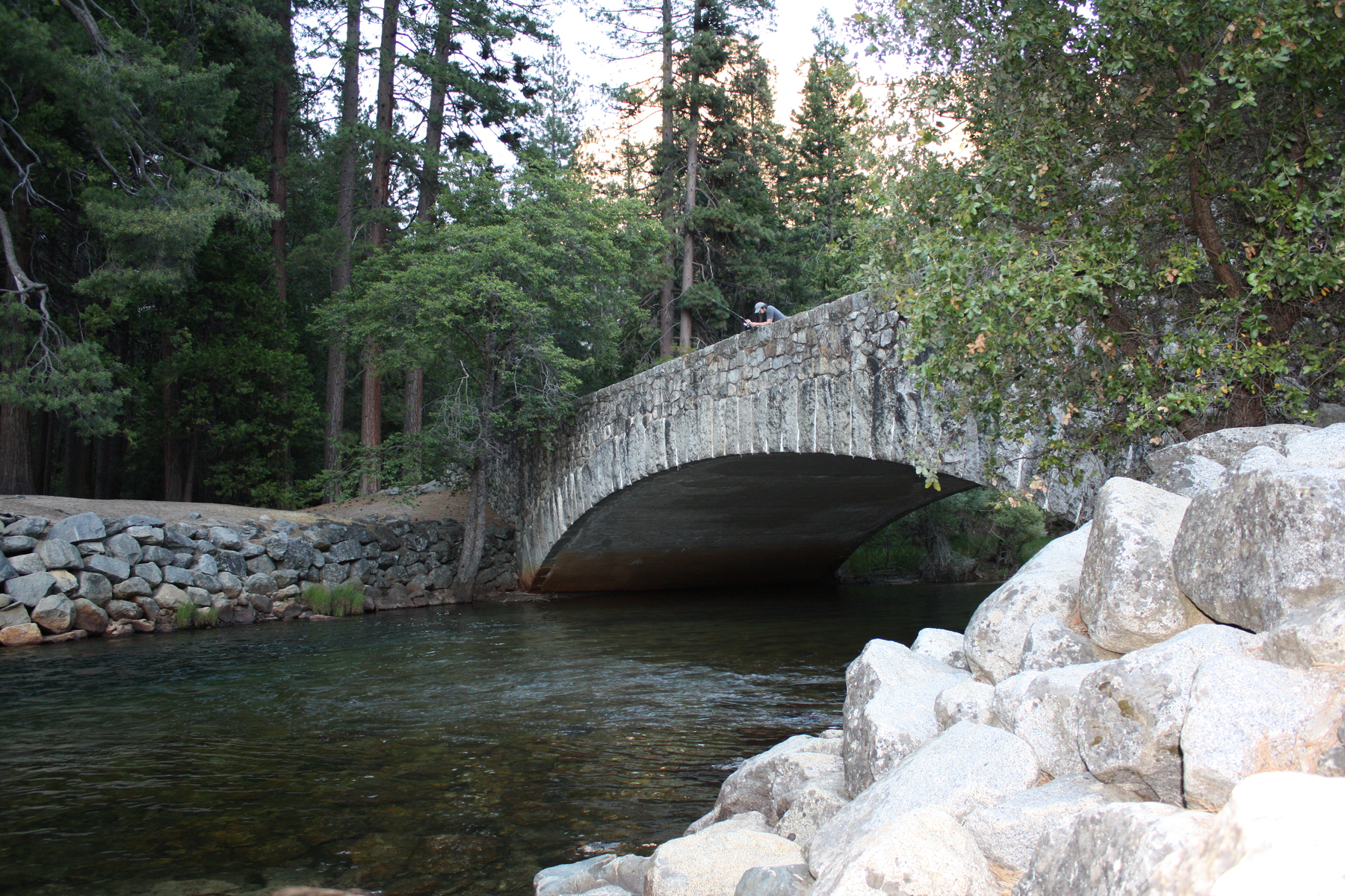
The next photo is of myself on Sugar Pine Bridge. I’m holding a fishing pole, but the fish were much smarter than I was so there wasn’t much action. The people at the sport shop were happy to sell us licenses, but a friendly worker in Curry Village told us we were crazy to fish a river that had so much human activity. So, we carried some fishing poles around which gave us a reason to absorb the beauty of the scenery and relax. Yosemite Valley bridges have come under scrutiny lately (Wayback Machine link) because they impede the natural flow of the Merced River, which is federally classified as “wild and scenic.” The historic bridges in question are the Sugar Pine, Ahwahnee, and Stoneman bridges, and all three are being protected from demolition through categorization as endangered historic places.
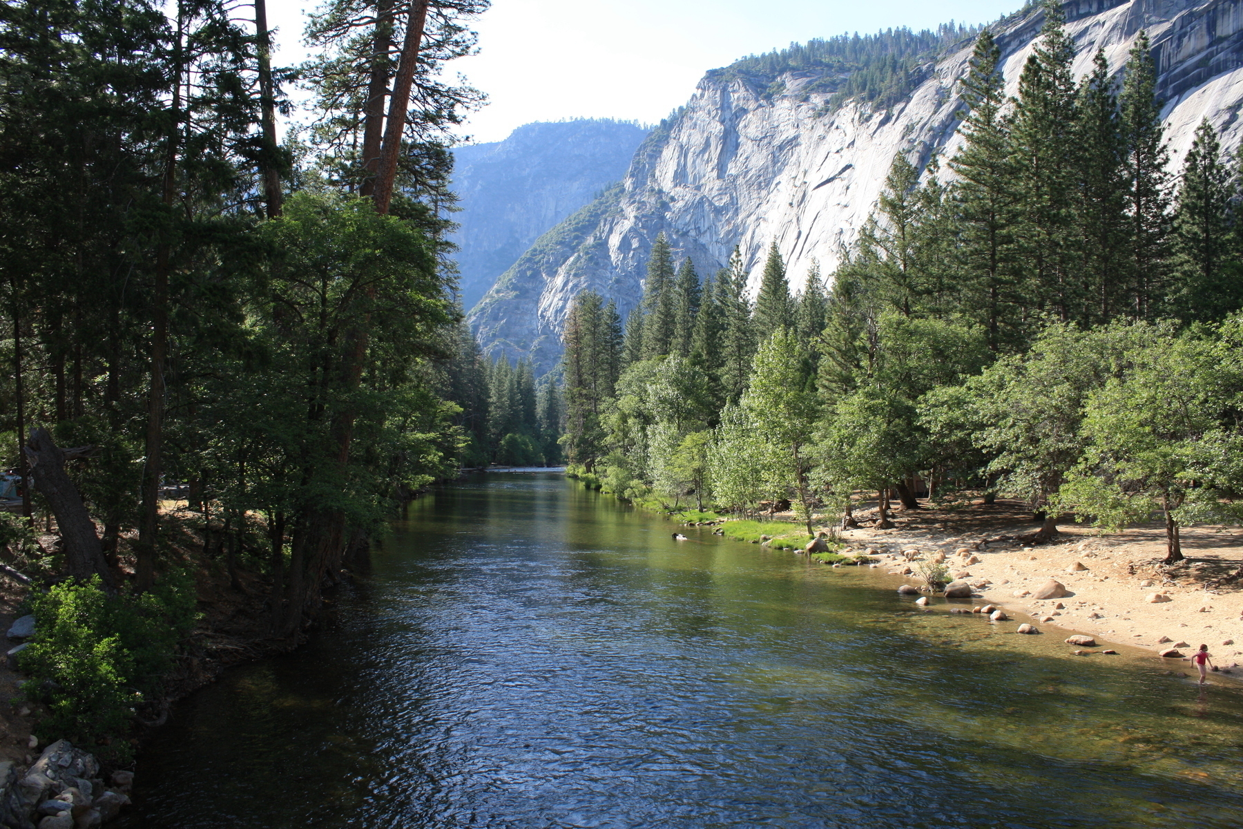
Picture 8 is a view of the Merced River from another bridge near the Upper Pines Campground where we stayed, but this bridge is not in danger of being demolished. I’m not sure of the specific name of this bridge, but here’s a link to the photo location.
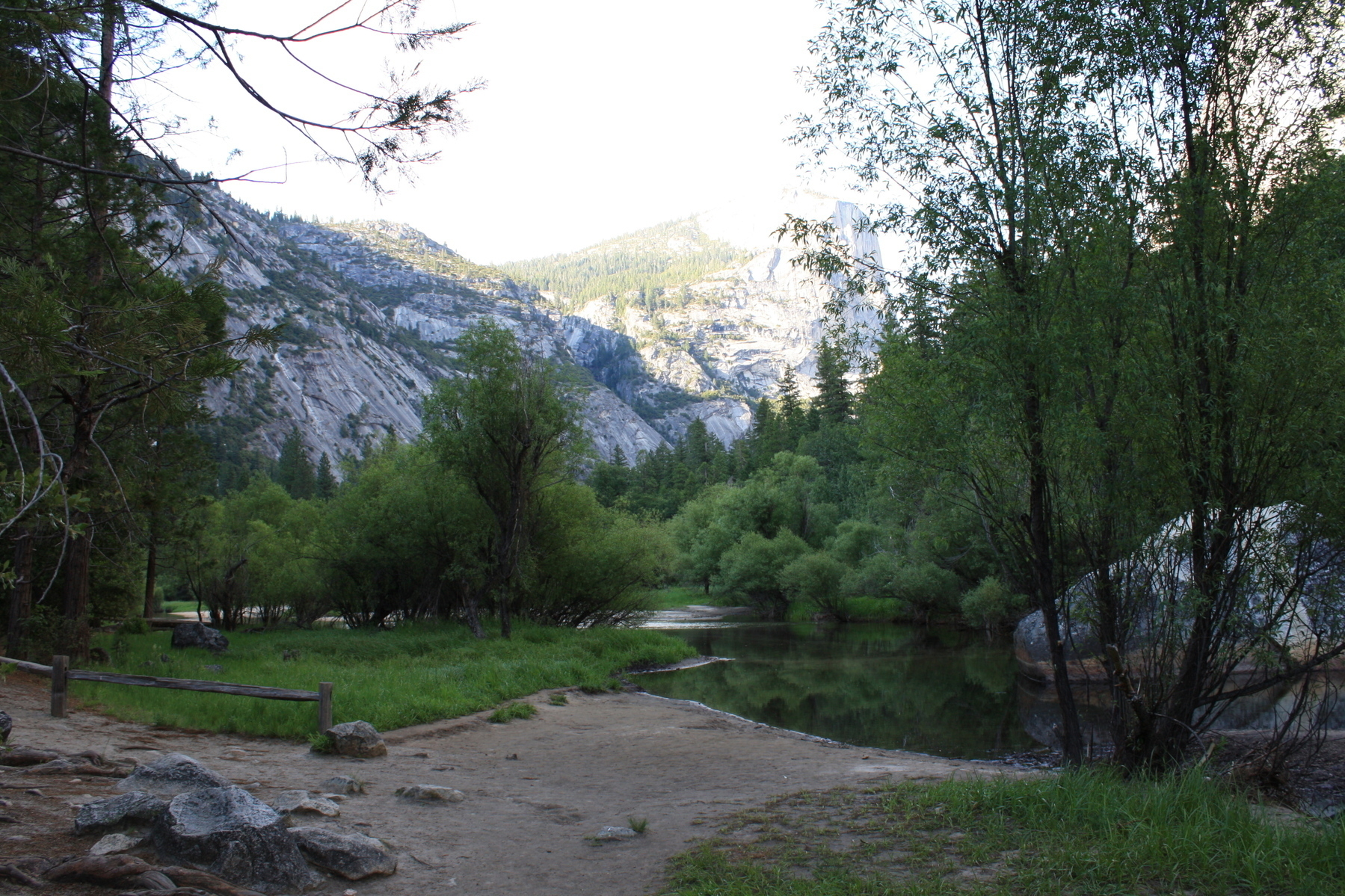
The second to last photo is of Mirror Lake, which was more like a pond than anything else. The lake is disappearing because of sedimentation, and it may eventually become a meadow although regular spring runoff could delay the process. Unlike many of the other natural features of Yosemite, Mirror Lake was not formed by ancient glaciation (Wayback Machine link). The lake was instead created by geologically-recent rock avalanches from both sides of Tenaya Canyon, most likely caused by an earthquake. These rock avalanches created a natural dam which restricted the water flow of Tenaya Creek, leading to the formation of Mirror Lake.
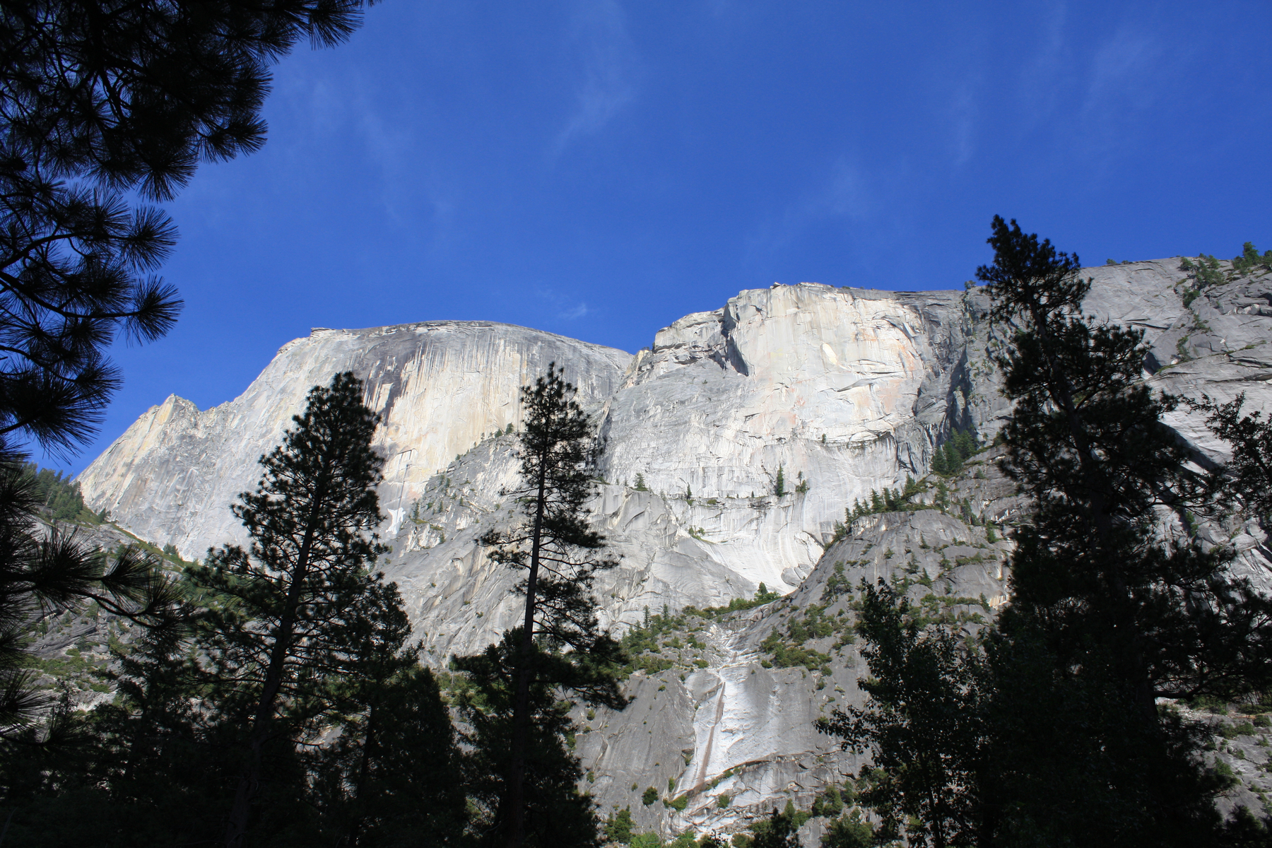
The last photograph is of Half Dome, taken from below at Mirror Lake. The rocky outcrop at the top-left peak of Half Dome is known as the “Visor,” while the thin piece of rock sticking out on the right side is called the “Diving Board.”
(Revised and republished April 23rd, 2025)
