internet
Sea Monsters and Submarine Cables
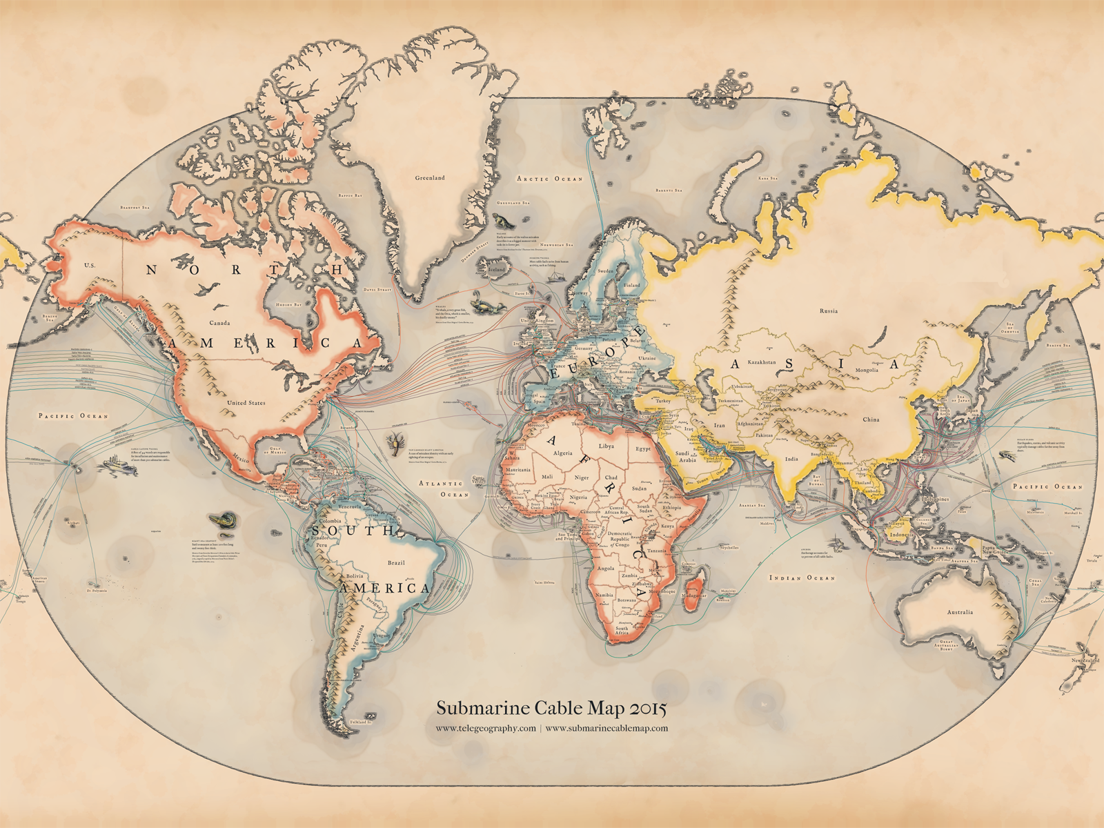
Vintage-style map of submarine cables by TeleGeography (Wayback Machine link).
This year’s map pays tribute to the pioneering mapmakers of the Age of Discovery, incorporating elements of medieval and renaissance cartography. In addition to serving as navigational aids, maps from this era were highly sought-after works of art, often adorned with fanciful illustrations of real and imagined dangers at sea. Such embellishments largely disappeared in the early 1600s, pushing modern map design into a purely functional direction.

To bring back the lost aesthetic that vanished along with these whimsical details, TeleGeography referenced a variety of resources in the design process. One of the most invaluable was Chet Van Duzer’s Sea Monsters in Medieval and Renaissance Maps book, which provides arguably the most complete history of the evolution of sea monsters and map design from this period. Our final product is a view of the global submarine cable network seen through the lens of a bygone era.
There's an interactive online version of the map as well:
http://submarine-cable-map-2015.telegeography.com
(via Vox)
(Revised and republished April 12th, 2025)